


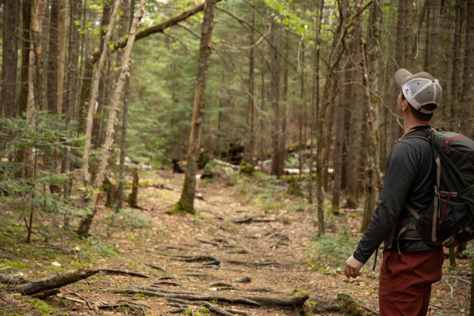
Woven into the fabric of the Adirondacks is a rich history, both social and natural. It’s possible to discover this history at the variety of museums scattered throughout the region, but perhaps a more authentic experience can be found in the woods and waters that make up Hamilton County. With about a million acres of forests and thousands of acres of waterways, not to mention the settled communities, there is no shortage of places to explore. Hiking trails are great for recreation. But did you know they're also great spots to get up close and personal with cool history? So, if you’re ready, check out these four hikes that help tell fascinating stories.
G Lake
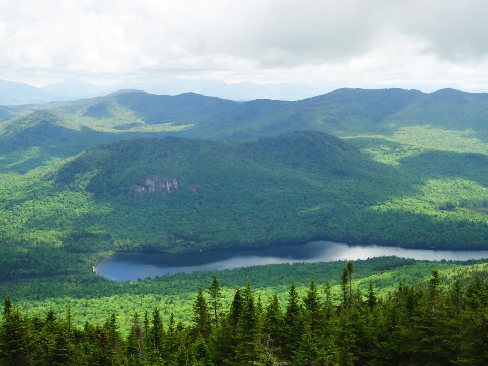
While the vast tracts of wild lands in the Adirondacks may seem largely abandoned by humans now, some places have very clear evidence of past habitation. G Lake is one of those spots.
Set back in a quiet corner of the Ferris Lake Wild Forest sits G Lake. Its name is derived from the shape of the body of water, which, unironically, forms something that resembles a letter “G.” It doesn’t take a huge effort to reach this alphabetical treasure. In fact, the trail is so mellow and short, it’s perfect for the whole family, even canoeists who want to portage! The access road is all on state land and open to the public, allowing visitors to drive to within 0.4 miles of the lake. (However, if you want to bookmark this spot for a snowier time, the road is not plowed in winter and will add 2.5 miles to your outing.)
There are campsites here, persuading you to make an overnight of your trip or even just a picnic for a few hours. From the summer parking near a barrier, it’s less than half a mile to the best water access and campsite. When you arrive, you’ll notice that this spot is near a clearing. This is the site of a former camp which was privately owned. If you make it out on the water, you’ll notice the remains of a dam at the outlet of the lake. Because the dam is no longer functional, the lake is not very deep. Even with human alteration to this environment, G Lake is still a beautiful location and a great hike to stretch your legs or introduce young ones to the outdoors.
To reach G Lake in summer, drive down NY Route 8 to a narrow gravel road found ~2.5 miles west of the intersection with Old Piseco Road. Turn here and continue to the parking space.
Catlin Bay lean-to
Stretching 130+ miles from Northville to Lake Placid is the Northville-Placid Trail, or NPT. (Don’t worry, we aren’t going to recommend a hundred mile hike... at least not in this blog!) The NPT is one of the oldest hiking trails in the United States; construction began in 1922 and ended in 1924. It even predates the infamous Appalachian Trail.
One of the best parts about the NPT is that it can be section hiked. If you want to take a shorter stroll on this famous trail, a trip to the Catlin Bay lean-to on Long Lake is a great option. From the register, it’s 1.1 miles to the lean-to over rolling hills. As you make your way down the trail, you’ll notice many different habitats. This is a great place to see wildlife, especially birds! Don’t forget to take note of the towering hemlock trees, too. These gentle giants can reach a mature height of 70 feet. For a short trip in a Wilderness Area, it doesn’t get much better than Catlin Bay.
To reach the Catlin Bay lean-to, follow NY Route 28N toward Newcomb from the intersection of Route 28 and Route 30 in the Town of Long Lake. Continue for about 3 miles to Tarbell Hill Road on the left. Follow Tarbell Hill Road for about 1 mile to the parking for the Northville-Placid Trail on the right. The trail is 100 feet further, just over the hill on the right.
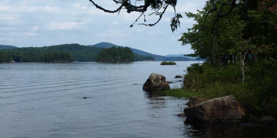
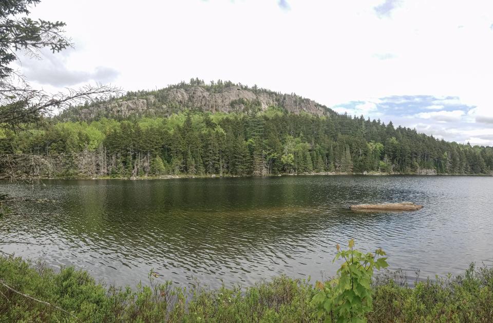
Tirrell Pond
Another fine outing near the NPT is Tirrell Pond. The tangible human story of the Tirrell Pond area has somewhat faded with time, but is still evident in places.
Human settlement at Tirrell Pond likely started in 1851 when a group of Irish immigrants built log homes and a church. The group was led by Father Olivetti, a pastor from Whitehall, New York. Unfortunately, the small settlement was abandoned after two years, almost 40 years before the formation of the Adirondack Park. The pond was named after Pat Tirrell, Father Olivetti’s foreman. Moving forward in time to the mid-1900s, Henry La Prairie had an Inn and guest house at Tirrell Pond. The location made it a favorite stopping place for sportsmen heading out into the wilderness. However, this structure was on state land, so when La Prairie failed to leave upon warning, local forest rangers dismantled and burned the building. Portions of the foundation are still visible today.
The trail to Tirrell Pond is longer than others listed in this blog; it clocks in at 3.3 miles long, one way. It begins at the same trailhead for Blue Mountain in the hamlet of the same name, right near the Adirondack Experience, the Museum on Blue Mountain Lake. Start along an old logging road, and eventually veer right to follow along the side of the mountain instead of climbing to its high peak. Fun fact: along the trail to the pond, you’ll cross the Hudson - St. Lawrence River watershed divide! After this point, the trail descends toward the NPT and Tirrell Pond, which is 0.3 miles from the intersection with the NPT.
Summer can be hot and swimming is a refreshing way to beat the heat after (or during!) a hike. Luckily, there is a sand beach on Tirrell Pond. You might be hard pressed to find a backcountry beach with a better view!
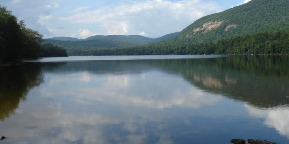
Long Pond
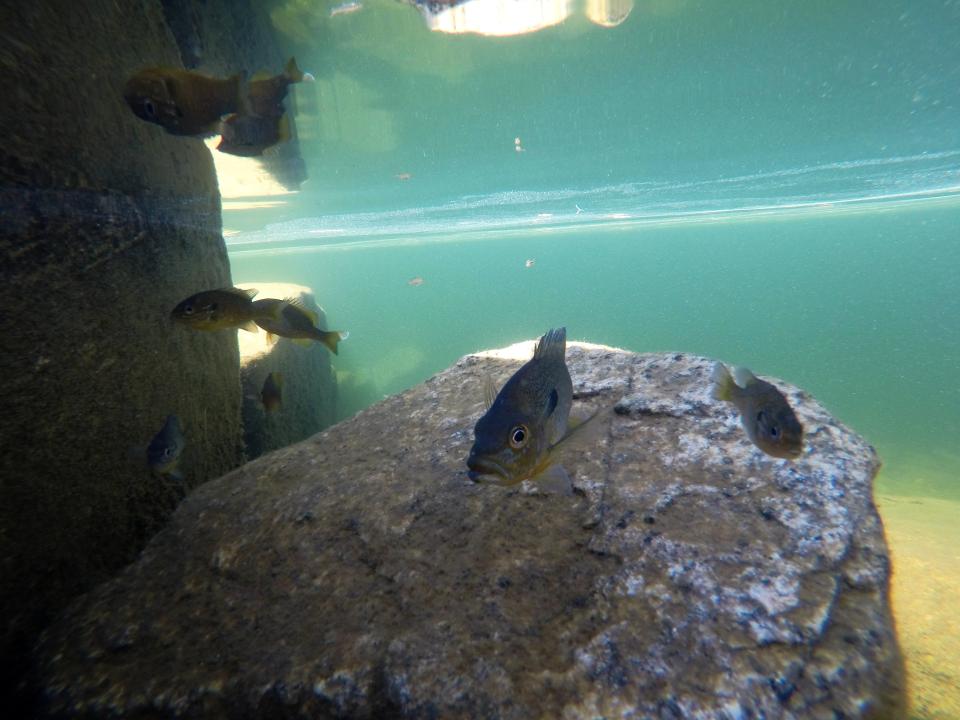
Aside from social and cultural history, the natural history of these places should not be overlooked. New York’s state fish, the brook trout, is widely considered a prize among anglers. Even to those who don’t fish, the natural colors and patterns of the fish are attractive. Several ponds in the Siamese Ponds Wilderness were historically home to these beautiful fish.
Long Pond is among the waters that have seen a change in fish species over the years. In 1894, E.R. Wallace published a "Descriptive guide to the Adirondacks" and he called Long Pond and others in the area “good trout waters.” Specifically, Wallace said Long Pond was good for large brook trout. However, as the years went on, other native species moved in. The pond was stocked with brookies in 1909 and again sometime between 1922 and 1932. But in 1967, the Department of Environmental Conservation said there was such a large number of competitors in the pond that brook trout reproduction seemed unlikely. In a 1987 survey, only two brook trout were found.
For better or worse, these changes have become common in the Adirondacks. The brook trout are still around; we just have to look a little harder to find them. Fortunately, the scenic beauty of Long Pond is not lost. The pond itself it pretty, but the sheer Long Pond Cliffs that rise above the water are jaw-dropping. (To see the view from the cliffs, a bushwhack is required. Please, if you opt to check this out, be familiar and map and compass use.) The hike to Long Pond is 3.6 miles one way and is reached via the Cisco Brook Trailhead, located just outside Speculator. From the four corners in town, follow Elm Lake Road for 8 miles to another four corner intersection. Parking is on the right, about 100 feet away. The foot trail is straight ahead and will pass by a privately owned camp. Within 0.3 miles you'll be at the state land border where a sign-in register awaits near a bridge over Cisco Brook. For the first mile or so, the trail is mostly level. Bearing left at an intersection, the trail traverses rolling hills until a junction with Rock Pond at 2.5 miles from the trailhead. Rock Pond makes for a good side trip as it adds almost no milage. Continue on the trail for just over 1 mile to reach the pièce de résistance: a rocky peninsula with extraordinary views.
Unlimited exploration
With 6 million acres inside the Adirondack Blue Line, there are plenty of options for hiking, fishing, swimming, and all other sorts of recreation. These four hikes merely scratch the surface of the history of Hamilton County. If you're curious to learn more, stay for awhile and see what other stories the forest has to tell!


