


Submitted by guest blogger Phil Brown
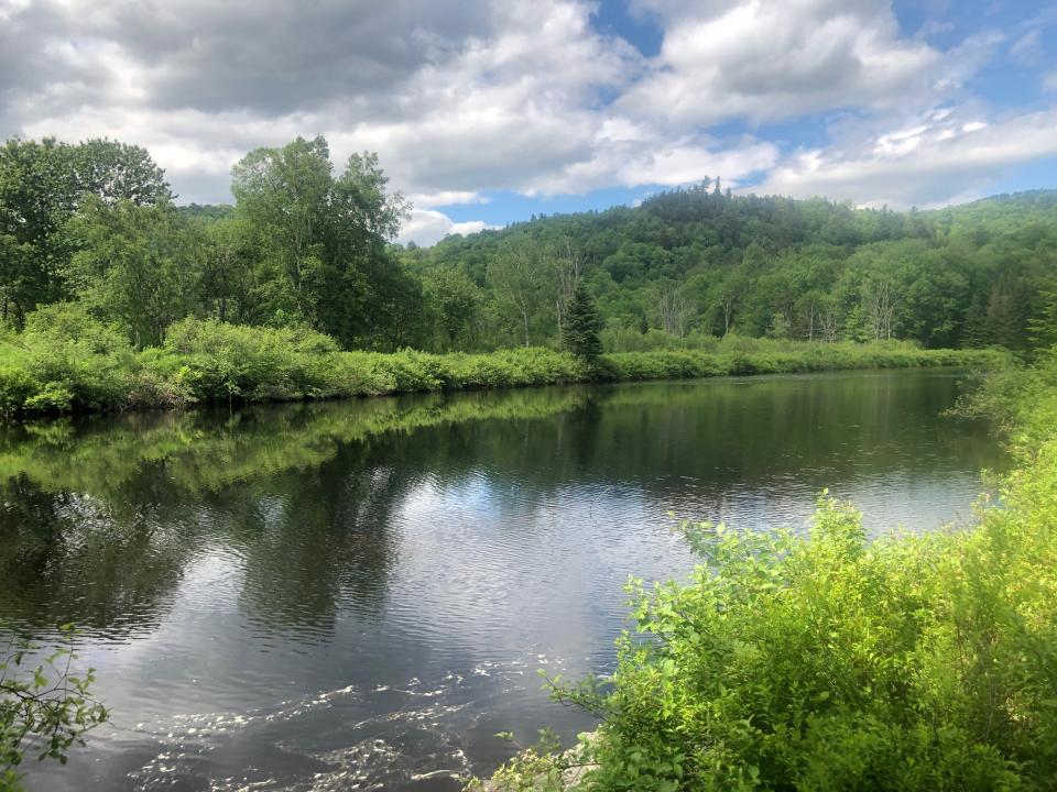
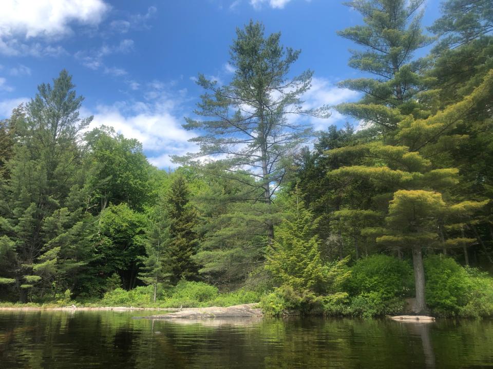
Pine Lake doesn’t get the attention it deserves. When the state acquired 65,000 acres of former Finch, Pruyn lands, a lot of ink was spilled about Boreas Ponds, the Essex Chain Lakes, the Hudson Gorge, and OK Slip Falls. Pine Lake was part of the deal, too, but it got lost in the hoopla. At more than 90 acres, Pine Lake is one of the largest bodies of water in the Essex Chain Lakes Primitive Area. It’s also one of the prettiest, ringed by evergreens and offering views of distant peaks.
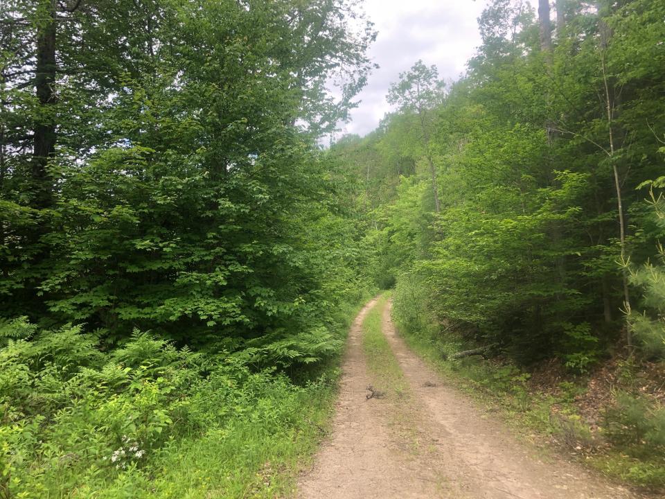
You can reach the lake by biking 3.7 miles along former logging roads. The roads are dirt and gravel, with some rocks, so bring a mountain bike, not a road bike. Fat tires with tread are a must. You don’t have to be an expert mountain biker to ride to Pine Lake, but you must have the stamina to pedal up several small hills en route. These hills might prove too difficult for small children. Of course, you can always walk your bike in the hard sections.
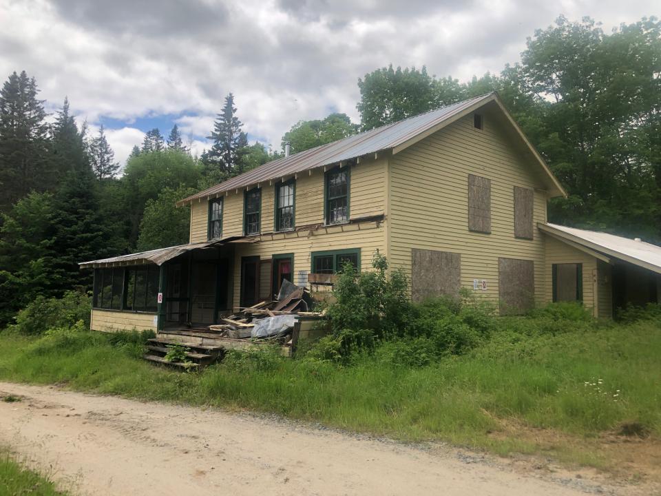
The ride begins at an old farmhouse that once served as the headquarters of the Outer Gooley Club, which boasts a view over a meadow of the Hudson River. As of this writing, the state Department of Environmental Conservation has not decided whether to tear down or preserve the building. The road beyond the farmhouse is usually gated to prevent vehicular access, but the gate is opened during big-game season (which begins in late October) to allow hunters to drive into the interior of the Essex Chain tract. Just beyond the gate is a DEC register. Be sure to sign in before embarking on your ride.
Start off in low gear, as you encounter the first hill right off the bat. At 0.65 miles, another logging road enters from the left. Continue straight. The route is occasionally marked by blue discs.
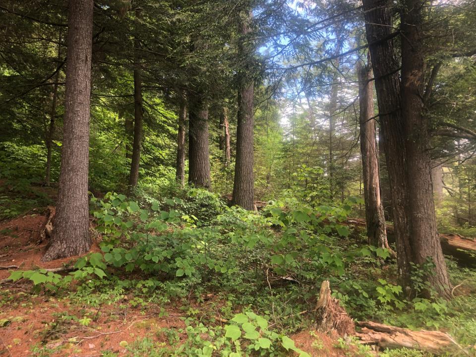
After a few more ups and downs, you reach a hiking trail on the left at 1.2 miles. The trail leads to Clear Pond in 0.3 miles. The short hike is a worthwhile detour for the pond’s views of nearby peaks. You’ll have to leave your bike behind, though, since riding is not allowed on the trail. If you are interested in the side trip, keep your eyes peeled for the trail because it’s easy to miss.
A little past the hiking trail you crest a hill and then coast down to another vehicle barrier, reached at 1.45 miles. This is as far as hunters are allowed to drive during big-game season. After the barrier, the road descends to Mud Pond, visible on the left through the trees. At 2.75 miles, after another downhill, you reach a fork. An arrow sign on a tree indicates that the route goes left here.
A tenth of a mile past the fork look for a trail on the right. Leave your bike and walk a minute or two to a quiet, scenic stretch of the Cedar River. In other seasons, mountain bikers starting at the Outer Gooley site will be able to cross the river and continue riding on former logging roads all the way to Essex Chain Lakes.
Pine Lake lies 0.8 miles beyond the junction of the logging road and trail. Continuing up the road (now marked by yellow discs), you soon glimpse the Cedar through trees on the right. The road climbs at an easy grade much of the way. Just before the lake there is a short, steep pitch at a right bend. Don’t be ashamed if you have to walk your bike for 30 feet. As you approach the lake, bear right to reach the northeast shore. Tall white pines grace the shoreline of this handsome lake. Standing at the water’s edge, you enjoy a view of peaks to the southwest. To your right, look for a narrow bedrock peninsula jutting into the water: it’s a fine place to sit and relax, eat a snack and drink in the scenery.
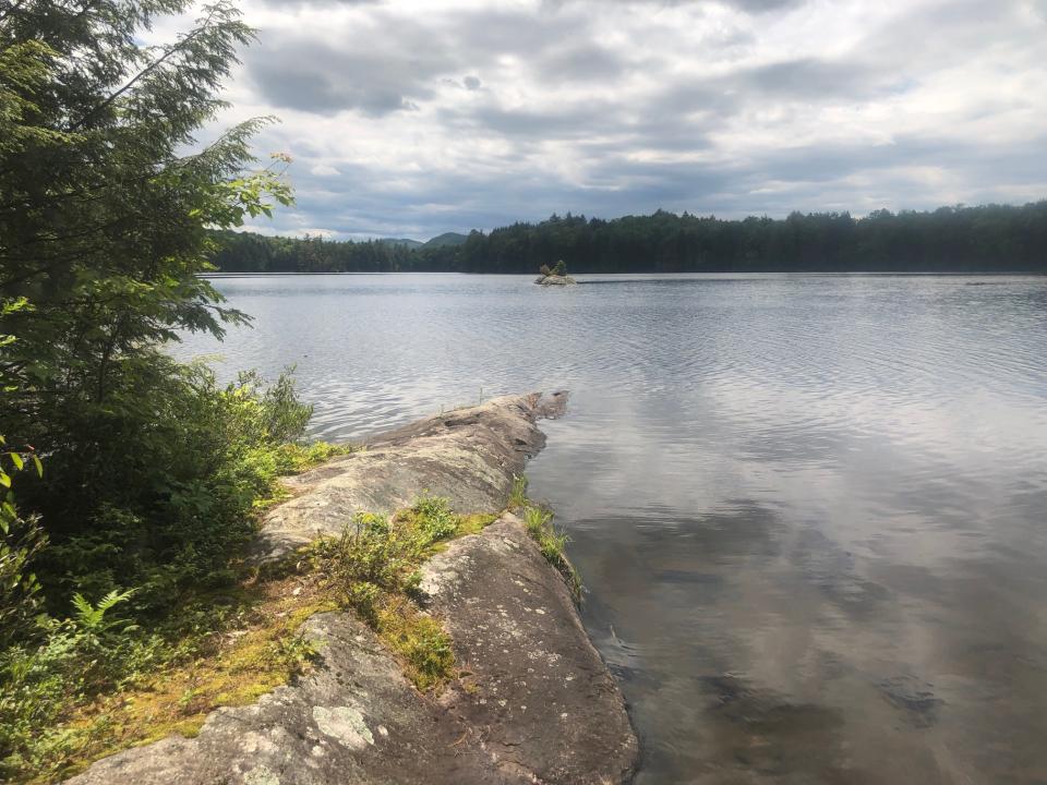
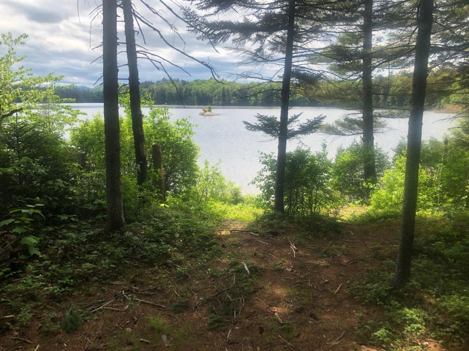
After a sweaty bike ride, how about a refreshing swim? Pine Lake’s water is cool and clear. If you’re strong enough, you may want to swim to a tiny island about 50 yards offshore. It’s a bedrock dome with three stunted evergreen trees (one balsam, one spruce and one pine), a few shrubs, and a solitary yellow wildflower.
The Outer Gooley site lies at about 1,600 feet in elevation. On the way to Pine Lake, the road climbs to a high point of 1,800 feet and then descends to the lake at 1,700 feet. Don’t be fooled, though: with all the ups and downs, you actually ascend the equivalent of 400 feet in elevation. The ride back should feel a little easier. In fact, once you reach the high point, you’ll be coasting much of the way back to the car.
DIRECTIONS: From the junction of Route 30 and Route 28 in Indian Lake, drive east on Route 28 for 1.3 miles and turn left onto Chain Lakes Road. Go 3.8 miles to a parking area near a vehicle barrier. The road turns to dirt after the first mile.
Ready to hit the trails? Pick the perfect lodging and then prepare for your ideal outdoor adventure!

This week in ADK news:


